About Us

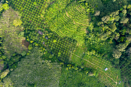
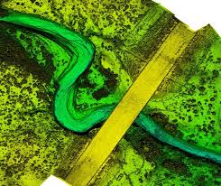
Geospatial Planning & Engineering Associates is the largest satellite image providing company in Pakistan. We contribute geospatial data and expertise to every industry, which significantly benefits them to achieve their goals.

Well-learned and experienced Geo Special team
Comprehensive, flexible GIS Soloution
Most Experienced IT Team

8

Years Of Experience

100+

Happy Customers

25+

Team Members


Support
24/7/365

Harnessing the Geospatial Technologies and our expertise for sustainable development.


Forest Monitoring

Forest monitoring enables determining the general forest state and change indicators of forest condition on regular basis.


Hydrology & Drought

Hydrological drought occurs when low water supply becomes evident, especially in streams, and groundwater levels, usually after many months.


Energy Sector

The energy sector or industry includes companies involved in the exploration and development of oil or gas reserves, oil and gas drilling, and refining.


Geological Mapping

Geologic mapping is a highly interpretive, scientific process that can produce a range of map products for many different uses, including assessing ground-water quality and contamination risks.


Digital Elevation Products

Digital Elevation Models can be used to create topographic maps of overland terrain, as well as bathymetric maps, which serve to illustrate underwater terrain.


Topographic Surveys

A topographical survey (aka topo survey) is an accurate depiction of a site (property, area of land, defined boundary) which is scaled and detailed to show all the natural and manmade features and their levels.


Book An Apointment